Editor:
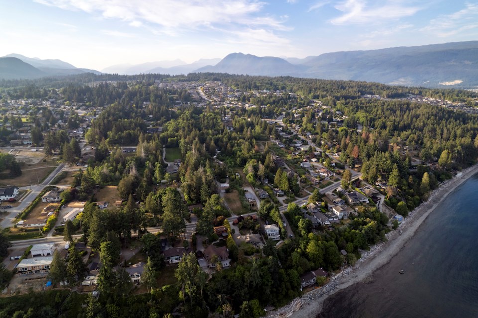
Recently, the first B.C. wildfire for 2024 was announced! What is the escape plan for the Sunshine Coast? One main road from Earls Cove to Langdale Ferry/HSPP - Port Mellon, heavily entrenched between trees from one end to the other. In mass evacuation to ??? side road traffic has a “fighting” chance of accessing this main thoroughfare. In my particular case, it would be an impossible struggle to fight for space on Shaw Road with the multitude of streets and avenues also doing the same in panic mode. The accessibility to Gibsons Way at PetroCan would be a “dying” cause. It might be a plan to know what thought process has gone into evacuation and to where?
Gail Fredricksen
Gibsons
