A Tuesday special weather alert is in effect for much of the Sunshine Coast as strong winds head this way.
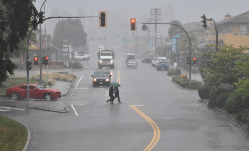
In the early hours of May 17, Environment Canada issued a weather statement for unseasonably strong low-pressure system, gusty winds, and 40 to 60 millimetres of heavy precipitation tonight through late Wednesday. The rain is predicted to fall in the higher terrain of the Sunshine Coast, Howe Sound and the North Shore mountains as well as west Vancouver Island. Freezing levels of 1100 to 1500 metres means that precipitation will appear as heavy snow in the mountains.
The winds are expected to blow over the Sunshine Coast from Gibsons to Powell River, Howe Sound, Whistler, the Lower Mainland, Fraser Valley and Vancouver Island as they switch from southeasterly to southwest on Wednesday.
"There is some uncertainty in the exact track of the low pressure centre," Environment Canada reports. "This will impact which communities see the strongest winds. As the storm nears and wind speeds and total precipitation amounts become more certain, warnings may be issued."
If you experience severe weather, you can report it to [email protected] or on Twitter using #BCStorm.


