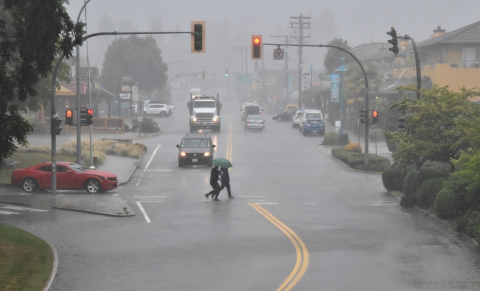
Updated 2 p.m.
The B.C. River Forecast Centre has a flood watch is in effect for the South Coast region, including the Sunshine Coast and Howe Sound.
The Ministry of Emergency Management and Climate Readiness continues to encourage people to be prepared and vigilant as the storm brings heavy rains and strong winds. People are encouraged to check the Environment and Climate Change Canada website for updated alerts and forecast.
Original story 10 a.m.
While much of the Lower Mainland and south Vancouver Island is under a rainfall warning from an incoming atmospheric river, as of Monday morning, the warning does not extend to the lower Sunshine Coast.
That doesn't mean we're staying dry.
For Gibsons and Sechelt, Environment Canada is predicting 20 mm of rain today and winds of 30 km/hr gusting to 50 km/hr and a high of 10 C. Rain is to continue this evening with a further 20 to 30 mm of rain and a low of 8 C.
Further into the week, the Coast is looking at a 70 per cent chance of showers Tuesday with a high of 11 C and then a mix of sun and cloud Wednesday and Thursday with highs of 5 C and 6 C.
The Ministry of Emergency Management and Climate Readiness has been preparing South Coast residents for the incoming storms since last Thursday. Metro Vancouver, Fraser Valley, Whistler and East Vancouver Island are under an Environment Canada rainfall warning from the "potent and impactful storm" that's to bring 50 to 70 mm of rain to those regions, with snow at higher elevations.
For up-to-the minute hyper local weather, check out our Weatherhood weather station.


