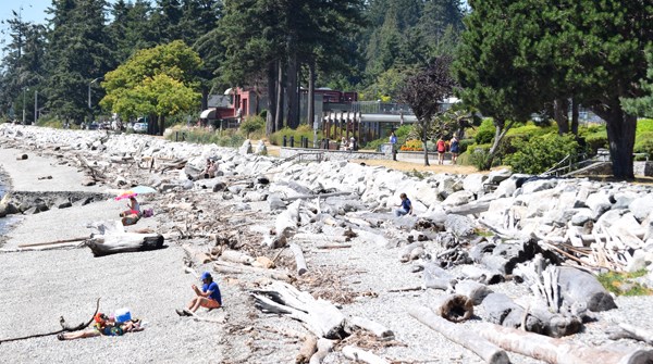
The Sunshine Coast has been experiencing sunny, warm weather this week but so far nothing to rival the record temperatures set during heat waves in 2009 and 2018.
A special weather statement issued July 24 was cancelled Monday when the temperatures for Tuesday and Wednesday were expected to be in the mid 20s as a result of a weather phenomenon known as a “marine push.”
Environment Canada meteorologist Matt MacDonald said they decided to issue the weather statement because this has been an unusually cool summer and last weekend and the early part of this week was going to be the first stretch of consecutive hot days on the B.C. coast.
MacDonald said Sechelt came close to a new record high on Sunday when the temperature at the airport hit 29.7 C, just shy of the 30.3-degree record set on July 26, 2018. The high for last Sunday in Gibsons was cooler at 25.5 C, which MacDonald said was likely because the official weather station in Gibsons is located closer to the water.
Monday’s high at the Sechelt Airport was marginally higher at 29.8, but still below the 32.3 C recorded in 2009.
MacDonald said forecasters were predicting the weather pattern would shift into something more typical for late July and early August for the long weekend.
He also said the change, described as a “ridge breakdown,” could bring a combination of “heat, moisture and instability” that’s a “textbook weather pattern” for lightning and thunderstorms, which could be a cause of concern with wildfire danger ratings in the moderate to high range on the Coast and eastern Vancouver Island.


