Provincial agriculture experts are expected to tour the Sunshine Coast next week to gather information on crops, livestock, land use and irrigation to create an Agricultural Land Use Inventory (ALUI) and Water Demand Model (WDM) – a first for the area.
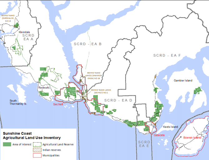
The ALUI will establish the amount of land being used for farming on the Sunshine Coast as well as provide a benchmark for monitoring change and could also be used to guide land use planning.
The WDM is a tool that looks at water use on each parcel of agricultural land to extrapolate what future water use needs will be under different climate change scenarios.To that end, it would establish the “potential impacts of climate change and identify appropriate adaptation strategies,” according to a release.
The model will also inform water storage modelling projects and allow the province to figure out water management alternatives while taking changes to land use into account.
The first WMD was created for the Okanagan and the model is being applied throughout B.C.
“The Sunshine Coast will be ahead of other areas in the province,” regional agrologist Chris Zabek told Coast Reporter.
From July 8 to 12, agrologists will be driving on public roads in a gray Dodge Durango with B.C. government logos and will be observing areas mostly from the vehicle with binoculars. Land owners are welcome to interact with the agrologists.
They will also analyze aerial photos and gather information from a workshop scheduled for July 9 from 4 to 7 p.m. at Roberts Creek Hall. Farmers and others involved in agriculture are invited to attend, especially those who can provide information if their farm is not easily accessible from public roads.
“It’s a good opportunity … if they want to talk about what they’ve got for crops, what sort of livestock, details of their irrigation,” said Zabek.
The agrologists will also provide information about the study.
The initiative is a partnership between the Ministry of Agriculture, the Partnership for Water Sustainability in BC and the Sunshine Coast Regional District (SCRD), which has allocated $2,500 and in-kind support for the project.
Results are expected to be published on the provincial mapping website in 2020, according to Zabek. Findings will be shared with the SCRD.


