When one of the biggest earthquakes ever recorded struck off Russia's coast on Tuesday, it triggered a tsunami that raced across the Pacific to British Columbia.
Here are some facts about the quake and the waves that followed.
WHERE DID THE QUAKE HAPPEN?
The epicentre was off southeastern Russia, about 119 kilometres east-southeast of Petropavlovsk-Kamchatsky. It struck at 4:25 p.m. on Tuesday, Pacific time.
HOW STRONG WAS QUAKE?
The United States National Oceanic and Atmospheric Administration (NOAA) says the quake had a preliminary magnitude of 8.8.
IS THAT BIG?
It's huge. NOAA data suggests an 8.8 magnitude would make it one of the eight most powerful quakes since 1900, and the most powerful since the 2011 Tohoku quake off Japan.
HOW BIG WAS THE TSUNAMI?
Russia's Oceanography Institute says tsunami waves of six metres hit the fishing port of Severo-Kurilsk. But it was smaller elsewhere: 1.8 metres at Midway Atoll in the Pacific and 1.1 metres in Crescent City, Calif.
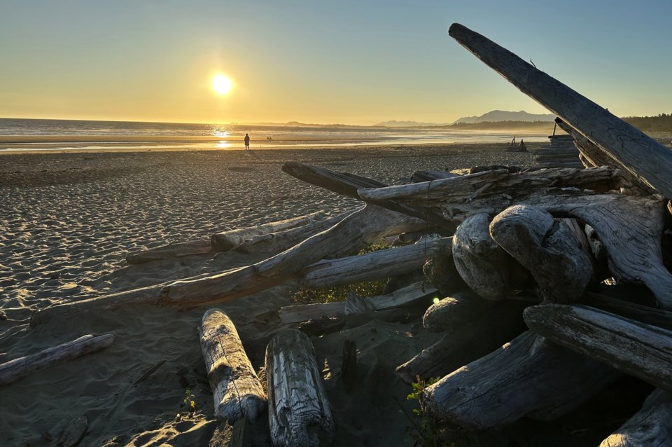
HOW BIG WAS IT IN BRITISH COLUMBIA?
NOAA says the waves reached 21 centimetres at Tofino, while other remote locations saw it approach 30 centimetres.
HOW FAST WAS THE TSUNAMI?
The wave travelled approximately 4,900 kilometres across the Pacific from the epicentre to Tofino in a little over seven hours, at an average speed of about 690 kilometres per hour.
— With files by The Associated Press.
This report by The Canadian Press was first published July 30, 2025.
The Canadian Press


