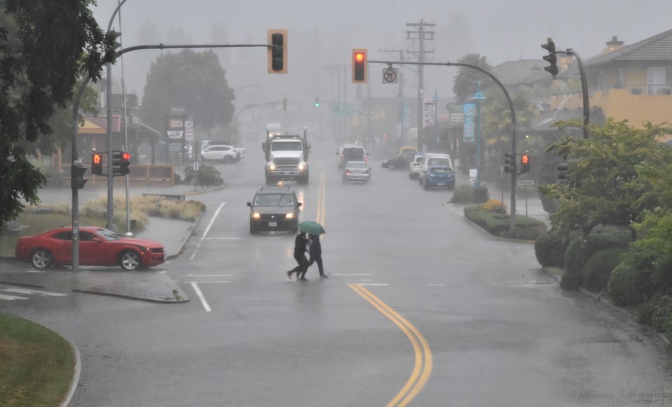
While the Sunshine Coast has been “far behind” seasonal averages for precipitation in the month of May, a weather system set to hit the area May 26 will go a long way towards bringing the Coast back to normal, according to Environment Canada.
Environment Canada issued a special weather statement for Wednesday, May 26, as a frontal system crossed over the south coast.
Environment Canada meteorologist Armel Castellan told Coast Reporter the timeline has since been bumped up to the afternoon with rain beginning around 2 p.m. joined by southeast winds gusting to 60 kilometres per hour.
Rain is expected to fall heaviest overnight, starting at about 6 p.m. and could last up to 12 hours, with 15 to 25 millimetres accumulating.
Between 20 and 40 millimetres could fall in localized areas if they are hit with “convective” rain as the system transitions and brings potential thunderstorms with it, said Castellan.
The risk of thunderstorm will be highest mid-morning on May 27. “If you do get hit by one of these convective cells then you could see very heavy precipitation but probably for not nearly as long as the overnight period,” said Castellan.
“It’s a big change from what we have seen of late,” said Castellan, adding the south coast is “far behind” seasonal normals.
“This is going to make up a lot of ground to get closer to those seasonal averages,” said Castellan.
At 21 millimetres as of May 24, precipitation in Gibsons is 26 per cent of normal and at about 17 millimetres, Sechelt has seen 23 per cent of the rain it normally gets in May.
More dry and warm days are expected to return after the system moves through.
Starting Friday, temperatures will be building from day to day, with a high of 26 expected by Tuesday, June 1.
“You’ll have to endure the next 36 or 24 hours and then look forward to a very strong drying trend,” said Castellan.