A shíshálh-B.C. webinar held May 1 introduced the land use plan and explained how to be involved in current engagement opportunities.
The land use plan aims to balance ecological health, economic viability, and community values, with a focus on biodiversity, watershed integrity, shíshálh culture, sustainable economic development, and climate change, explained the team of panellists hosting the webinar.
Community planner Sarah Gillet hosted the webinar and was joined by several panellists representing shíshálh Nation, Ministry of Water, Land and Resource Stewardship, and Elkplan Design.
Gillet said the webinar served to orient people to the upcoming public and stakeholder engagement phase of the shíshálh-B.C. Land Use Plan and ensure the public can “maximize your opportunities to be engaged.”
Isabelle Houde, senior biologist and environmental policy advisor for shíshálh Nation, said the goals of the Foundation Agreement between shíshálh Nation and the province include shared environmental stewardship, creating economic prosperity, protecting culture, heritage and language and strengthening shíshálh self-governance.
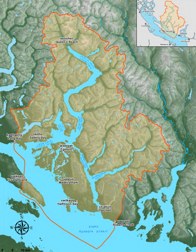
The project is currently in phase 2, Houde explained that the team compiled all data and information available on key values for the land use process, analyzed the information and summarized the findings on the project’s website, which she added contains more than 100 maps.
The key deliverables of the land use plan include land zoning, management direction and goals for priority values, projects, and future studies.
Current condition assessments (CCAs) on various topics, such as old growth forests and wildlife species, were discussed, and described as “a fact-based way to understand the current state of something important like biodiversity or climate change,” by Andrea Rietman, a land and resource specialist with the Ministry of Water, Lands and Resource Stewardship.
She explained CCAs use measurable indicators to track changes over time and inform management strategies, and that feedback on them will be used to shape the land use plan and inform future management decisions.
Gillet reiterated the land use planning table’s (one of six collaborative forums established under the Foundation Agreement) commitment to “understanding public and stakeholder interests and the potential impacts of the land use plan on those interests,” and thanked those who shared early interest and feedback.
She said Phase 2 engagement will be a mix of “broad open to everyone, inclusive activities” as well as a series of upcoming open houses and a public questionnaire.
Engagement will also include a series of targeted events designed to bring together organizations representing specific interests.
Rietman said the land use plan aims to be complete in 2027 and that the next step for planning is going to be looking at water sustainability, recreation and tourism, with ongoing stakeholder input.
Upcoming engagement
Two upcoming open houses were announced, the first on May 5, the second on June 5. Both Open Houses will be from 2 to 4 p.m. and 5:30 to 7:30 p.m. at the Seaside Centre at 5970 Toredo Street, Sechelt.
Gillet said these events will be a great opportunity to talk face-to-face with members of the land use planning table.
“We'll have some interactive boards that summarize the results of the current condition assessments, with lots of space for folks to add comments, but more importantly, we'll have members of the land use planning team available to answer your questions,” she said.
Resources
The meeting also included demonstrations on how to navigate the plan’s website, which provides a wealth of knowledge, including documentation, history and information on future phases.
The interactive map tool allows users to explore data layers, including habitat shifts and species indicators.
A recording of the webinar is also available for anyone wanting to learn how to navigate the project website.
Additionally, a page for frequently asked questions about the project is also available.
The team also shared a summary of the public engagement for Phase 1, which took place from November 2020 to February 2021.
A public questionnaire is also available until June 22.
Jordan Copp is the Coast Reporter’s civic and Indigenous affairs reporter. This reporting beat is made possible by the Local Journalism Initiative.
Words missing in article? Your adblocker might be preventing hyperlinked text from appearing.

