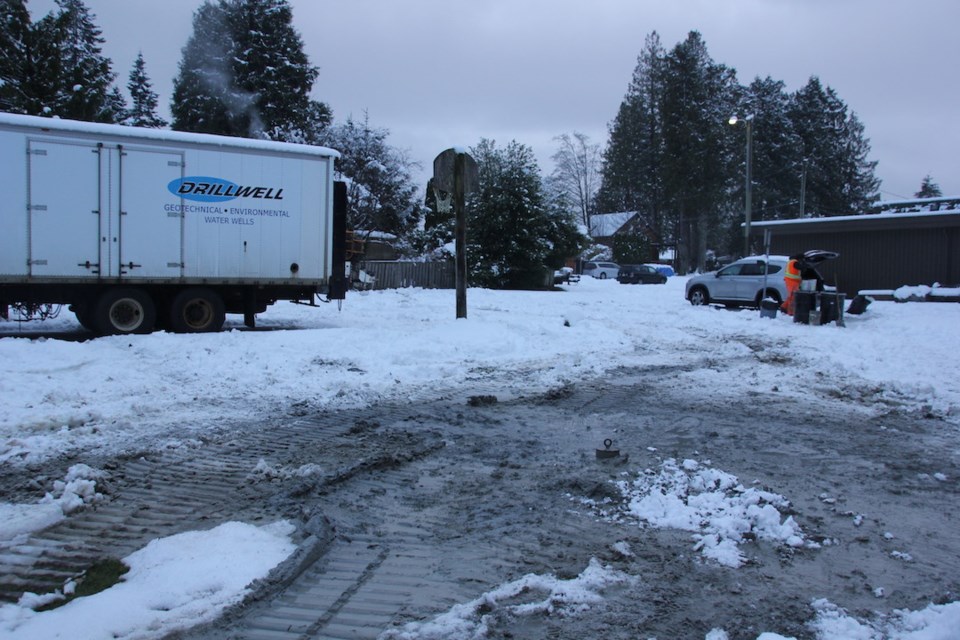
Crews were set to drill three new monitoring wells in Lower Gibsons the week of Jan. 15.
Work got underway on Monday in Arrowhead Park next to Harmony Hall. The two other wells are to be located at Dougall Park and a road allowance on Glassford Road. All three sites are located on town land, and were chosen based on the information Gibsons is hoping to obtain, Michelle Lewis, natural asset technician for the Town of Gibsons, told Coast Reporter.
The wells at Glassford Road and Dougall Park will be shallow, drilled to a depth of around five metres. Located on either side of Charman Creek and close to Town Wells #3 and #5, these wells will be used to determine the hydraulic connection between the surface (creek) water and Aquifer 560.
“The monitoring wells are equipped with sensors to measure water level of the shallow Capilano Aquifer. When the Town pumps Well #3 as part of normal water distributions operations, we can now track if drawing down Aquifer 560 in the well capture zone around Well 3 has any effect on the water level in the Capilano Aquifer which is connected to Charman Creek. If there is connection between groundwater and surface water, the sensors will track this,” the email said.
There is a confining layer between the two aquifers, but hydrogeologists believe they are hydraulically connected, Lewis added. “Because Charman Creek typically goes dry in the summer, without the presence of these shallow wells we can't determine if the two systems are connected in this location. This data is important to assess environmental flow needs of the creek for aquatic life in addition to the overall health of Charman Creek and monitoring any potential impacts from Town operations.”
In Arrowhead Park, the new well will provide data from the area, where no other well or borehole drilling data is currently available. This well will have a deeper borehole of up to 75 feet to determine the presence or absence of Aquifer 560, though the degree of confidence that it does is considered low. It will also provide the Town with information on the conditions in Arrowhead Park, which contains part of Goosebird Creek and is consistently wet throughout the year. That information will not only inform future restoration of Goosebird Creek, but determine whether the water in the park is from the Capilano Aquifer sitting on bedrock or the layers between the two aquifers being close to the surface
These wells are being drilled with $72,000 council approved as part of the 2023 five-year water capital budget process. Results are expected to be presented by staff late in the first quarter or early in the second quarter of 2024.
The new drilling information will be used to update the current Leapfrog (aquifer) model.
“It is important to note that these wells will also support the Aquifer 560 Watershed Agreement between the Town of Gibsons and the Sunshine Coast Regional District, signed in 2023. The implementation of the Agreement is being undertaken through a ‘One Water Strategy’ approach, and these wells will contribute to the expansion of the Aquifer Monitoring Network alongside upcoming monitoring work by the SCRD,” Lewis said.


