Elphinstone Logging Focus (ELF) has questions it wants addressed at the BC Timber Sales’ (BCTS) Mount Elphinstone Watershed Assessment report public review session on April 6.
The report authored by consulting firm Polar Geoscience and released March 9 by BCTS, is “a huge report with many, many assumptions,” ELF spokesperson Ross Muirhead said in an April 3 email to Coast Reporter.
The two-hour virtual meeting starts at 6 p.m. To register, email [email protected] with the subject line RSVP to Mt Elphinstone Watershed Assessment meeting.
ELF’s concerns
ELF wants BCTS to subject the report to a peer review by an independent hydrology consulting firm. Its points out that the report was paid for and its terms of reference were set by BCTS. “The public sees this arrangement as falling into 'professional reliance' with its perils of a perceived bias towards the outcome: logging,” Muirhead's email read.
The group has several questions that hover around what it identifies as “gaps” and “oversights” in the report’s mapping related to Leek Creek and up to 10 other streams across the TA0521 cutblocks, near Joe Smith Creek, in the upper slopes of the Roberts Creek neighbourhood.
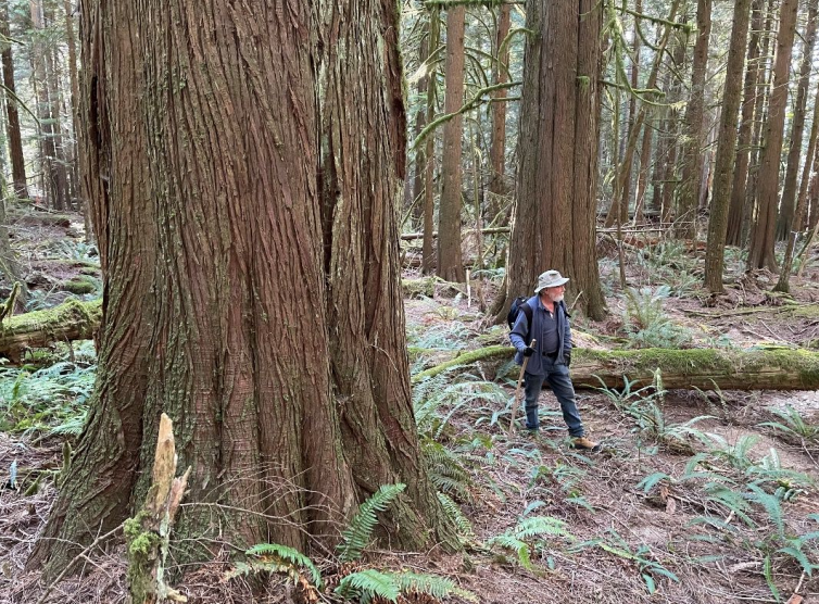
Also missing from the report maps, in ELF’s view, is an overlay of sections identified by the Old Growth Technical Advisory Panel showing "recruitment forest" areas with the proposed cutblocks. “The public needs to know that the BCTS blocks are targeting mature forests that a scientific panel have identified as being critical to protect as 'tomorrow's old-growth' forests,” ELF wrote.
The group also questions why evapotranspiration, the process of trees drawing water up from the ground, storing and then releasing it into the atmosphere is not addressed in the report. “Research on evapotranspiration indicates that 30 to 50 per cent of precipitation within a stand is created by this process. This gap needs to be addressed before we will accept this report, as tree cover loss will result in reduction of ground water flows to water users,” the email stated.
Another concern is the report’s lack of discussion of the effect that the intact forest plays in the "snow-drip" process. The email describes this starting with mature trees intercepting falling snow. With the forest interior providing warmer temperatures, the hanging snow then melts delivering water to the forest delivering groundwater. In its email ELF stated, “In contrast, snow that falls in a clearcut will build up upon itself adding to colder conditions thus remaining as snowpack. Then with an early spring rainfall, the snow will rapidly melt resulting in a rain-on-snow effect. Rapid snow melt can cause peak flow events to nearby water courses leading to risks and hazards to down slope properties."
The equivalent clearcut area methodology used in the report ELF also challenges While the report assumes that hydrologic recovery is complete when trees replanted after harvesting reach three metres in height, Muirheard wrote that other hydrologists have indicated it takes up to 80 years for a stand of trees to have the same hydrological function of an old-growth forest and that during heavy rain events, forests with smaller trees exhibit lower abilities to absorb water with higher flows passing downstream along the surface.
An issue ELF wants to see addressed before the report is accepted by BCTS is full reporting on block slope percentages so that the impact of road building across steep area can be fully addressed.
Not required but important for downstream areas
In the meeting invitation, BCTS stated that it does not require a watershed assessment for this area, but that it recognizes “there are multiple downstream values” that Coast local governments and the public want to see addressed as harvest plans are developed to minimize risks associated with logging.
It stated the report includes recommendations on the extent of harvesting that are more conservative than previous assessments. “The new recommendations are more conservative because they have been developed in the context of climate change and potential effects on values in the downstream watersheds,” the letter of invitation reads.
BCTS and Polar Geoscience representatives presented and answered questions related to the report in a series of meetings with community groups and local government held during the final week of March.

