A record-breaking cold has fallen over the Coast for the last week of 2021.
The Coast remained under a winter weather alert Dec. 28 with arctic outflow winds and low temperatures resulting in wind chill values near or below - 20 C. Environment Canada forecasts that daily temperature highs in the negative range for the area will persist until New Year's Day. Daily highs in the zero-degree range and more snow are predicted to arrive on the Coast in the first days of 2022.
The long-term forecast calls for continued colder-than-normal temperatures for our area and much of the B.C. coast over the coming two weeks.
On Dec 27, Gibsons set a new low-temperature record of -11.6 C degrees for that day, shattering the previous low record of -5.6 C set in 1968, preliminary Environment Canada data shows. Sechelt set a new record of -11.6 for Dec. 27, breaking the old record of -6.7 set in 1971.
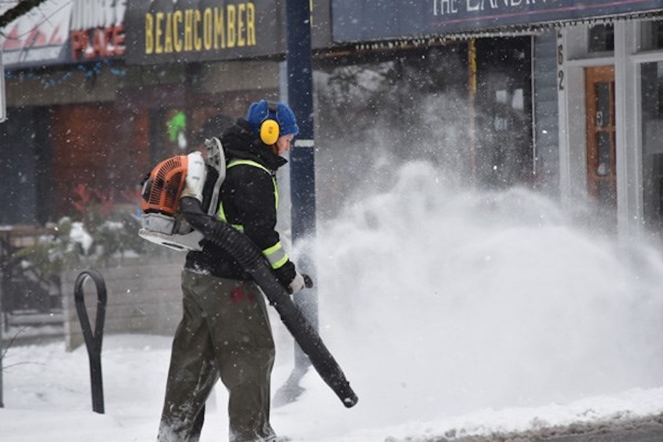
Local areas saw snowfall start on Dec. 23 and continue through Dec. 27. According to the Facebook site “Highway 101 Road Conditions” the white stuff and the freezing temperatures created a variety of winter driving conditions. Road maintenance crews worked around the clock on weekend and statutory holiday dates to keep major routes, including Highway 101, cleared. Those responsibilities meant they had less opportunity to do extensive clearing on side roads. As of Dec. 28 driving surfaces on many side routes continue to have packed snow and ice.
BC Hydro’s website reported that crews responded to 51 weather-related power outages on the Coast during the three-day period starting on Christmas Day. Three areas were still without power on Dec. 28.

