On Wednesday afternoon, April 26, temperatures in the Whistler valley were sitting at about 9 degrees C, with cloudy skies lingering after light showers earlier in the day.
Tomorrow, skies will clear as temperatures spike to a daytime high of 16 C, according to Environment Canada. By Friday? The mercury will pass the 20-degree mark, with Whistler expected to see a high of 22 C in the valley on Saturday.
As temperatures rise, so will avalanche danger in B.C.'s backcountry.
“Warm air and sunny skies, in general, have a destabilizing effect on the snowpack,” explained Mike Conlan, senior forecaster with Avalanche Canada.
Temperatures heading into the weekend will be cooler at higher elevations, but will still hit double-digits. Freezing levels, meanwhile, are expected to increase just as dramatically, reaching well above 3,000 metres in Whistler.
In most parts of B.C., “Alpine terrain has not seen weather like this all season,” said Conlan. “We haven't had freezing levels even close to as high as they're going to be this weekend. It’s going to be a very quick transition from wintry conditions to spring conditions in the alpine and anytime the snowpack undergoes quick changes, it's more likely that we're going to see more frequent avalanches and larger avalanches.”
High temperatures typically produce surface problems in the backcountry, like wet-loose avalanches, usually in the early- to mid-afternoon when temperatures are highest and often on south-facing slopes, said Conlan, but impacts of the drastic warming predicted for this week could reach far deeper into the snowpack.
At present, Whistler’s snow base is about 265 centimetres deep, judging by Whistler Blackcomb’s weather report.
That’s “as deep as the snowpack will get for this avalanche season, and it hosts various different layers within it right now,” said Conlan. “The warming has the potential of triggering different layers within the snowpack, from near the surface all the way to near the base of the snowpack itself.”
Those deeper, weak-layer releases “really can be unpredictable, without any previous warning signs of instability,” Conlan added.
Avalanche danger in alpine terrain forecast to be 'high' Thursday
One particularly problematic layer of sugary, faceted grains formed in November and December near the base of the snowpack. That was the case across most of Western Canada, said Conlan, including Whistler and Pemberton.
Snowpacks in the Duffey and Hurley zones, in particular, “were really quite thin for much of December and January, and we had fairly large weak-layer growth,” Conlan explained. The hundreds of centimetres of snow the region has received since has buried these layers, “but they haven't gone away,” he added.
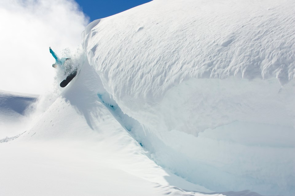
Cornices built up along ridgelines pose an additional hazard this spring. Warmth can rapidly weaken those snow bonds, increasing the likelihood of cornices failing under the weight of a human or releasing naturally. Like the snowpack, “this is as large as they get for the season,” said Conlan. “They should definitely be treated as suspect during warm conditions.”
Cornices are “dangerous in their own right,” he added, “but can also trigger various layers within the snowpack which could produce very large avalanches.”
Wet-loose avalanche activity can mean everything from minor pinwheeling to larger slides capable of injuring or killing a person, but releases deeper in the snowpack can result in massive avalanches big enough to travel all the way to the valley-bottom, to areas where snow might already have melted.
Regardless of whether you’re planning to venture into the alpine or heading out for a hike or bike ride at lower elevations, that means “being aware of where you stand with respect to avalanche hazard will be very important" this weekend, said Conlan.
Wednesday’s avalanche danger rating for the Sea to Sky corridor was listed as “moderate” for all three categories of terrain: alpine, treeline and below treeline.
Thursday, April 27’s avalanche danger rating is forecast to be “high” in the alpine—meaning natural avalanches are likely and human-triggered avalanches are very likely—and “considerable” at and below the treeline—natural avalanches possible; human-triggered avalanches likely.
Avalanche danger on Friday is predicted to rise to “high” for terrain at and above the treeline, and “considerable” below the treeline.
“Blue skies so easily lure us into wanting to travel farther, get into bigger terrain,” Conlan acknowledged. “But ultimately, given this weather set-up and our snowpack, it's just not the time to do that.”
Sticking to simple, low-angle terrain without exposure to overhead hazards is a good idea this weekend, as is avoiding avalanche terrain during the heat of the day, said Conlan, while any high-consequence objectives should be sidelined for another time.
“If you feel that you're not able to appropriately evaluate avalanche terrain, then it's probably a good weekend to avoid mountainous terrain,” he added.
“There's still a very thick snowpack up high that hasn't gone through a full shakedown yet, and this weekend could be that weekend that it occurs.”


