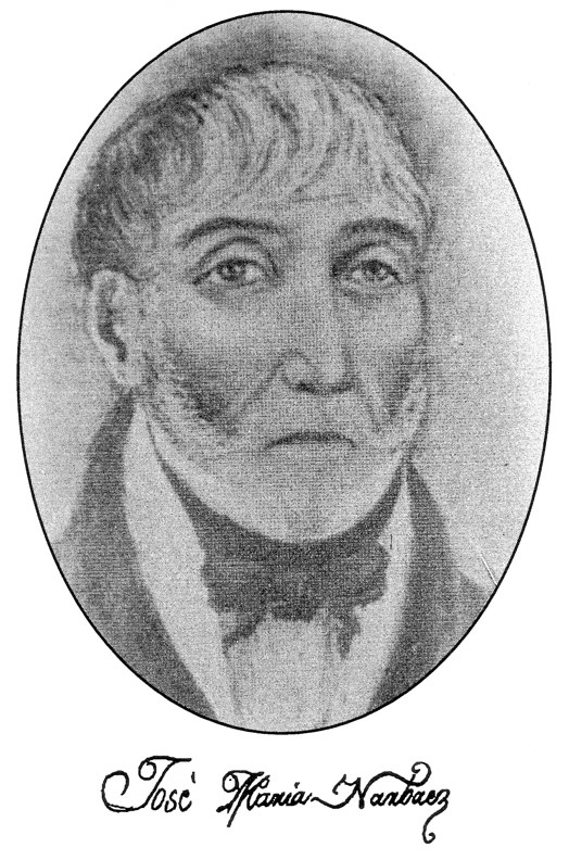
This week marked the 225th anniversary of the European arrival on the Sunshine Coast (and of the site of the city of Vancouver) by the little known and under-appreciated Spanish explorer José María Narváez.
For three memorable weeks in July 1791, at the age of only 23, Narváez (ca. 1768 - 1840) of the Royal Armada of Spain led the first European excursion into the central part of the Salish Sea or what the Spanish called El Gran Canal de Nuestra Señora del Rosario la Marinera, later renamed Georgia Strait. He captained the Santa Saturnina, a 42-foot schooner, and was accompanied by a smaller longboat. The mostly Mexican crew numbered about 32 hands.
The nominal commander of this historic expedition was Lt. Francisco Eliza; however, he remained behind in Discovery Bay (on the southern coast of Juan de Fuca Strait) on the flagship San Carlos while Narváez made his important discoveries.
Although not as well known as the three distinguished explorers who arrived one year later (George Vancouver, Dionisio Alcalá Galiano, and Cayetano Valdés), Narváez has the honour of being the first European to visit the site of the present day city of Vancouver where he explored English Bay (though not the inner reaches of Burrard Inlet). He was also the first European to cruise along the Sunshine Coast, on July 10 to 12, 1791. In fact, he was the first to set foot on solid ground there after anchoring off Mission Point near the mouth of Chapman Creek (he named it Rio de la Aguada – River of the Watering Place) so that he could replenish his fresh water barrels from the banks of the river. This is the first recorded landing of an explorer on the southwestern mainland coast of what is now British Columbia.
The results of Narváez’ brief survey were incorporated into a manuscript chart prepared by the expedition’s cartographer Juan Carrasco later the same year. This chart also shows southern Vancouver Island, Juan de Fuca Strait, and the San Juan Islands. The chart is usually referred to as the Carta Que Comprehende from the first three words of its rather lengthy title. It was this chart that mortified Capt. George Vancouver (his word) when it was shown to him the next summer – by Galiano and Valdés, who were continuing exploration of the area first sighted by Narváez – after Vancouver had arrived to survey what he expected to be unexplored territory.
On the chart are anchorages indicated with small anchor symbols near Chapman Creek (Rio de la Aguada) as well as off the western shore of Thormanby Island (Isla de San Ignacio). On this chart, Isla de Zepeda is Point Roberts, Islas de Langara is Point Grey, Punta de la Bodega is likely Stanley Park (even though it appears on the map as part of the north shore), Bocas del Carmelo is Howe Sound, Islas de Apodaca is Bowen Island and nearby islets, and Boca de Moñino is Jervis Inlet.
Most of the names given by Narváez to landmarks in Georgia Strait are no longer used because of overwhelming British influence later on. However, three important islands still bear Spanish names: Texada, Lasqueti, and Ballenas.
Unfortunately, Narváez’ original journal of this first foray into Georgia Strait by a European has been lost and no copies are known, so there is no direct account to illuminate his adventure. All of what is known about his route and his specific discoveries has been gleaned from information shown on the chart (which he helped prepare) as well as second-hand accounts by Francisco Eliza and pilot Juan Pantoja y Arriaga, neither of whom accompanied Narváez into Georgia Strait.
Narváez had a long and distinguished career in the Spanish navy. He worked out of the naval station in San Blas, Mexico and retired as a junior captain in 1831, almost 40 years after his historical sail around Georgia Strait. He died in Guadalajara in 1840 at age 72.


